
 | ||||


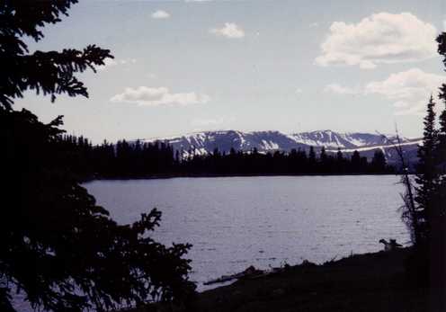
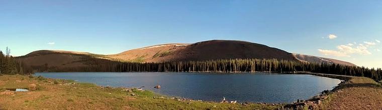
Whiterocks Lake (Reservoir)
Ouray Park Irrigation Company
435-823-6884
Ouray Park Irrigation Company
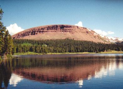
Click on Image to Enlarge
The irrigation water rights in Whiterocks Lake are an asset and resource of the Ouray Park Irrigation Company and its stockholders.
Elevation: 10,577 ft. above sea level
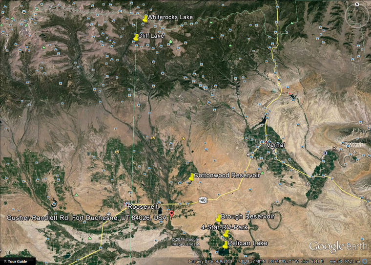
Location: See below
Access: Late Spring, Summer, Early Fall
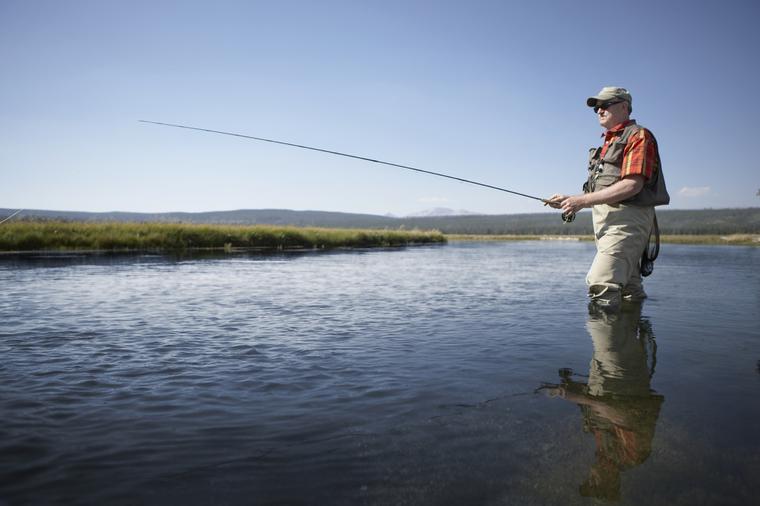
Fishing: Fishing is good in the area.
Likely Catch: Cutthroat, Brook Trout.
Possible Catch: n/a
Hours: No restriction.
Regulations:
to the current Fishing Guidebook.
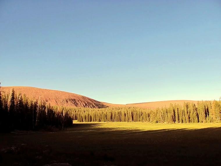
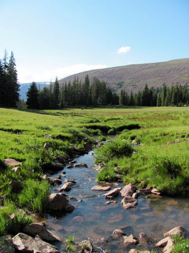
Facilities: Camping in the area. South Slope of the Uintahs
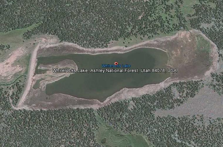
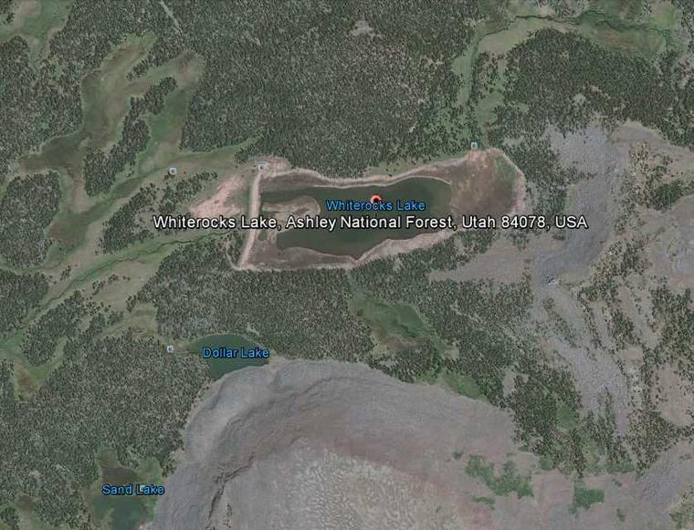
Location: Uintah County, Utah
Latitude: 40.7784°N
Longitude: 109.9496°W
GNIS ID: 1447958
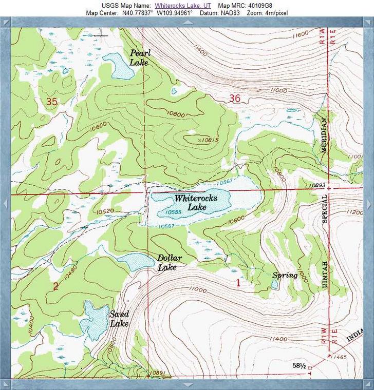
The Whiterocks Lake can be found on the Whiterocks Lake USGS quad topo map. Whiterocks Lake is a reservoir in Uintah County in the state of Utah. The latitude and longitude coordinates for this reservoir are 40.7766, -109.9540 and the altitude is 10577 feet (3224 meters).
Anyone interested in fishing Whiterocks Lake should consult with local guides and resources before heading out to fish. Anglers who have fished Whiterocks Lake are invited to submit reviews of the lake. Tell us when you went, what you caught, how the experience ranked overall. Thanks for your reviews, they help to make Fishing Works the best website for anglers.
The climate is classified as a mid-latitude steppe (mid-latitude dry), with boreal dry scrub biozone. The soil in the area is high in kastanozems, solonetz (ks), calcareous soils rich in organic matter, brown color, typical of semiarid climates containing grasses.