
 | ||||


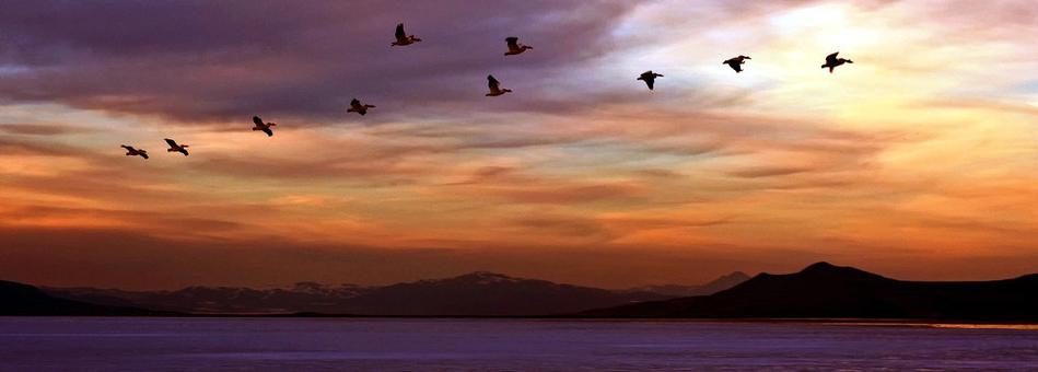
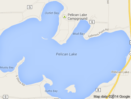
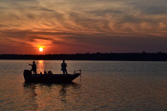
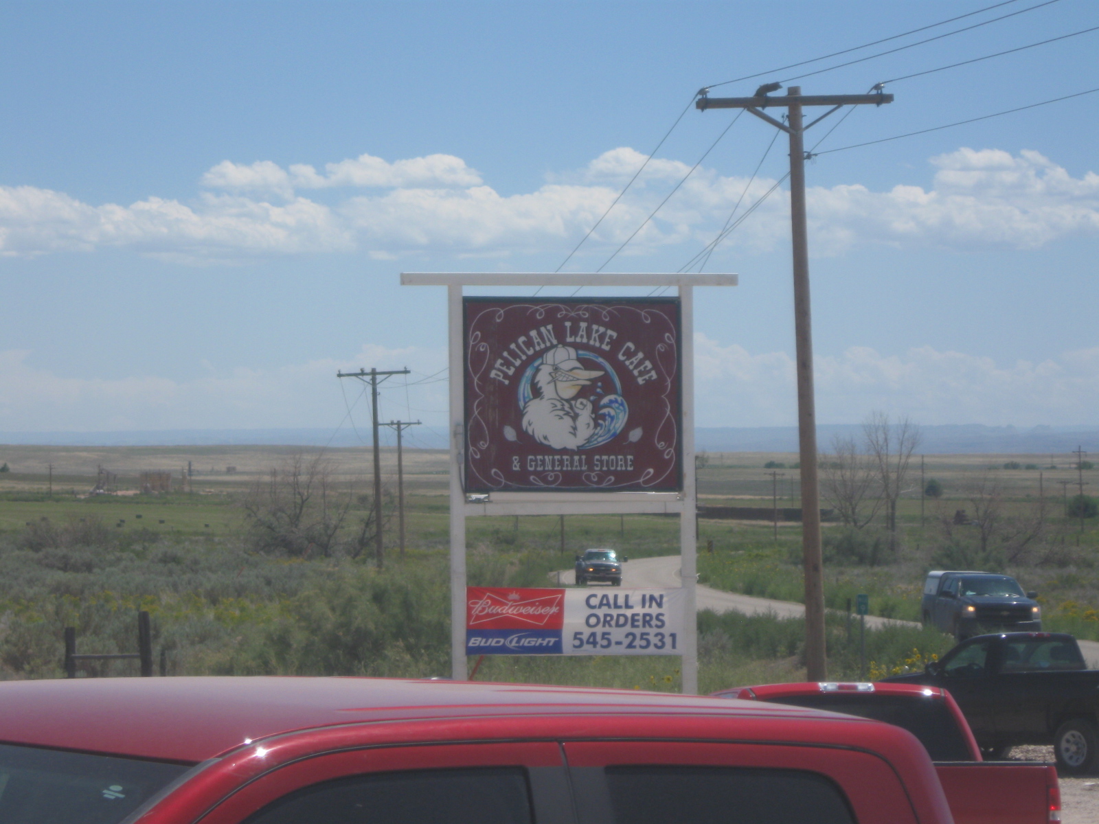
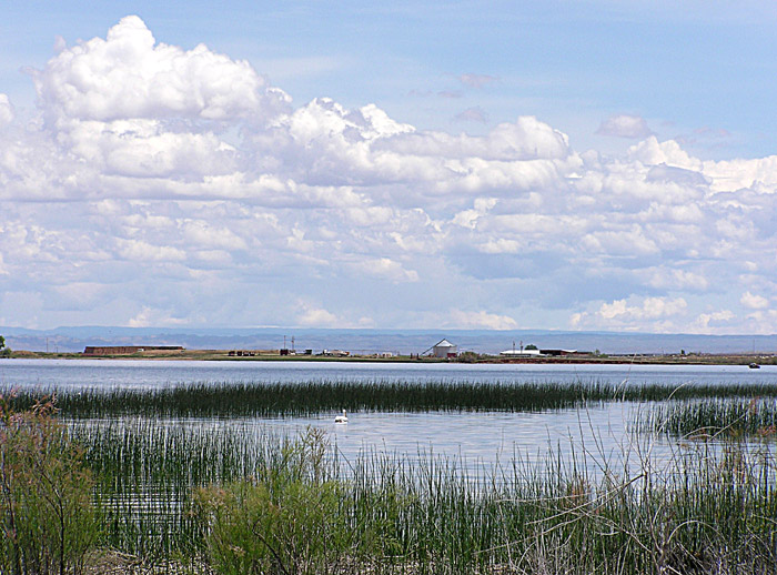
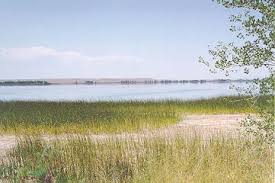
Pelican Lake
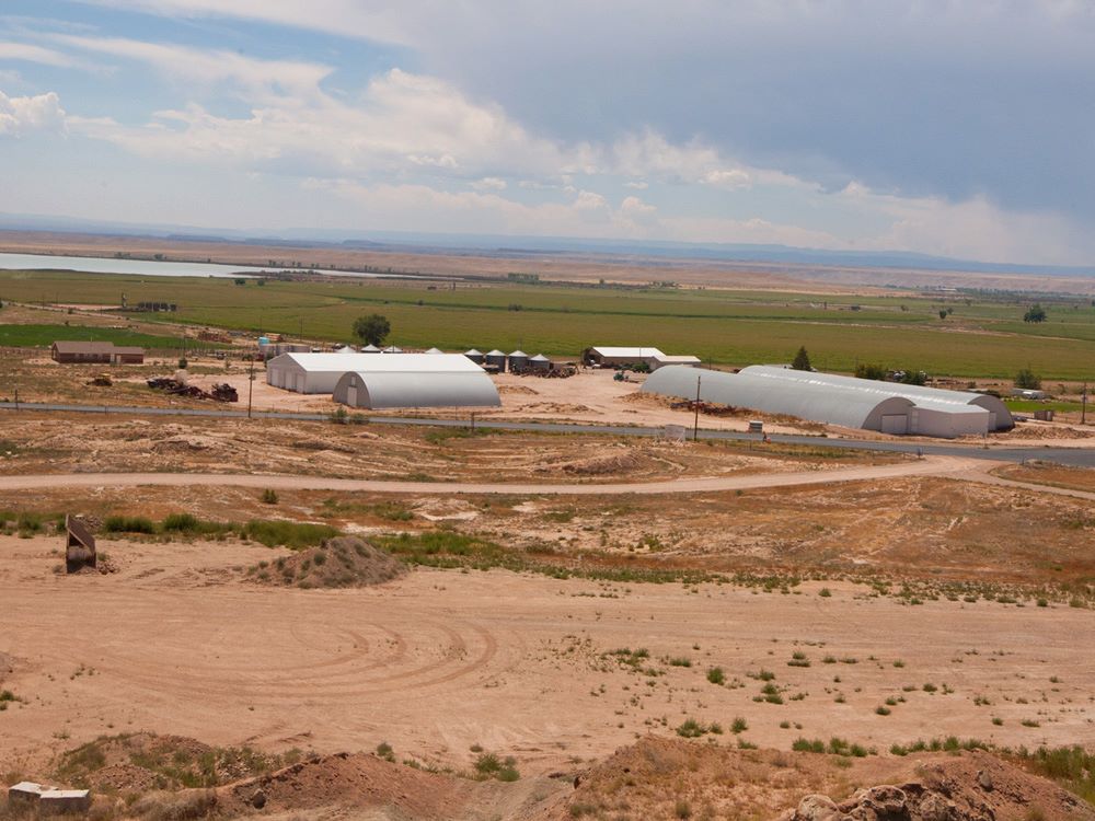
Ouray Park Irrigation Company
435-823-6884
Ouray Park Irrigation Company
Click on Image to Enlarge
The irrigation water rights for Cottonwood Reservoir are an asset and resource of the Ouray Park Irrigation Company and its stockholders.
Elevation: 4,800 ft. above sea level
Location: Southwest of Vernal
Access: From Vernal take Highway 40 west approximately 15 miles to Junction 88.
From the junction follow SR-88 south for another 10 miles.
At the top of the hill you can see Pelican Lake.
At the intersection at the bottom of the hill, turn right/west on 4500 South and then left/south on 14500 East.
Various farm roads provide access to other parts of the lake..
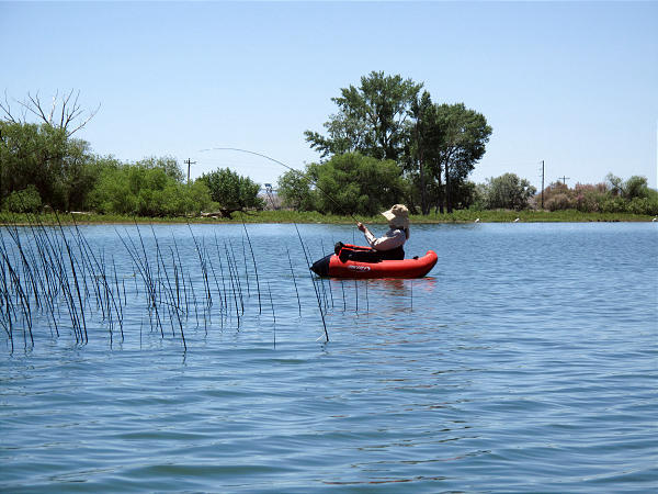
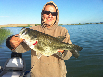
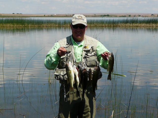
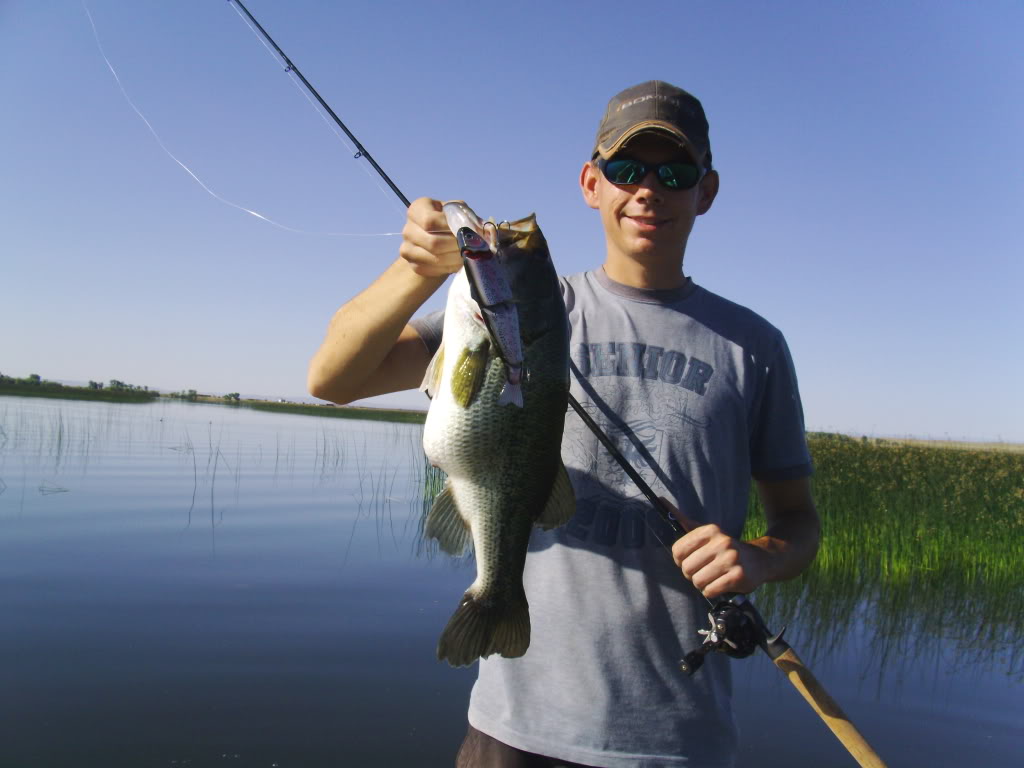
Fishing: Bluegill, Bullhead, Largemouth Bass, Sunfish
Surface Area: 1,680 Acres
Volume: 17,071 acre-feet
Max Depth: 18.05 feet
Avg Depth: 9.84 feet
Facilities: There is a dirt boat access and primitive camping is allowed. There are no
restrooms, campgrounds, or water. No handicap access.
Latitude: 40.1930181
Longitude: -109.682362
Pelican Lake is a natural lake in the Uinta Basin southwest of Vernal. Historically, it is noted as a world class bluegill fishery. In 1983 it produced the state record, a two pound, three ounce bluegill. Old timers claim that it was one of the "little ones". Half of the shoreline is owned by the BLM and half is privately owned. Public access is unrestricted.
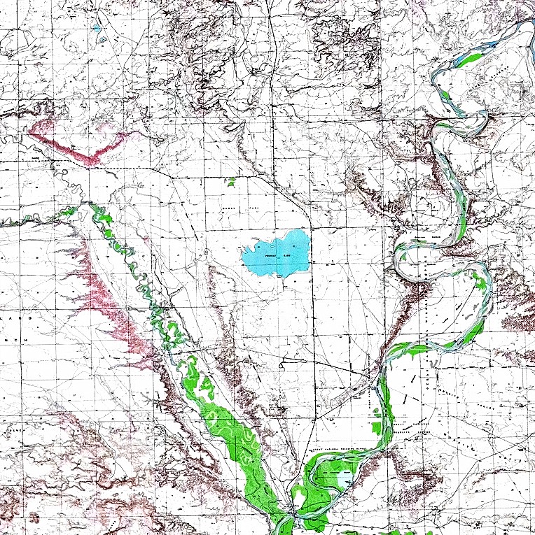
USGS Map Name: Pelican Lake, UT Map MRC: 40109B6
Map Center: N40.18750° W109.68750° Datum: NAD27 Zoom: 32m/pixel